How Much Do Pilots Need to Know About Outflow Boundaries?
Outflow is a term you probably do not hear often, but you will never forget it when it shows up. Outflow is related to the downdraft phase of a thunderstorm and is one reason the Federal Aviation Administration (FAA) recommends that you stay at least 20 miles away.
However, outflow can travel farther than 20 miles, underscoring the importance of understanding where you might encounter it and how to become aware of its presence.
The Risks
A recent thunderstorm system that passed far east of Austin-Bergstrom International Airport (KAUS) into the Houston Class B airspace sent 30-knot winds at the surface that reached within 15 miles of KAUS. A flight instructor and learner had been practicing upper air work maneuvers with no effects felt from the far east thunderstorm system that was approximately 100 miles long.
Everything looked good on ForeFlight: No AIRMETs, SIGMETs, or Convective SIGMETs were reported for forecast in the practice area 20 miles east of KAUS. Winds aloft were not strong, around 10 knots, and the distant storm seemed to pose no threat. Winds reported at KAUS were also low, 10-12 knots.
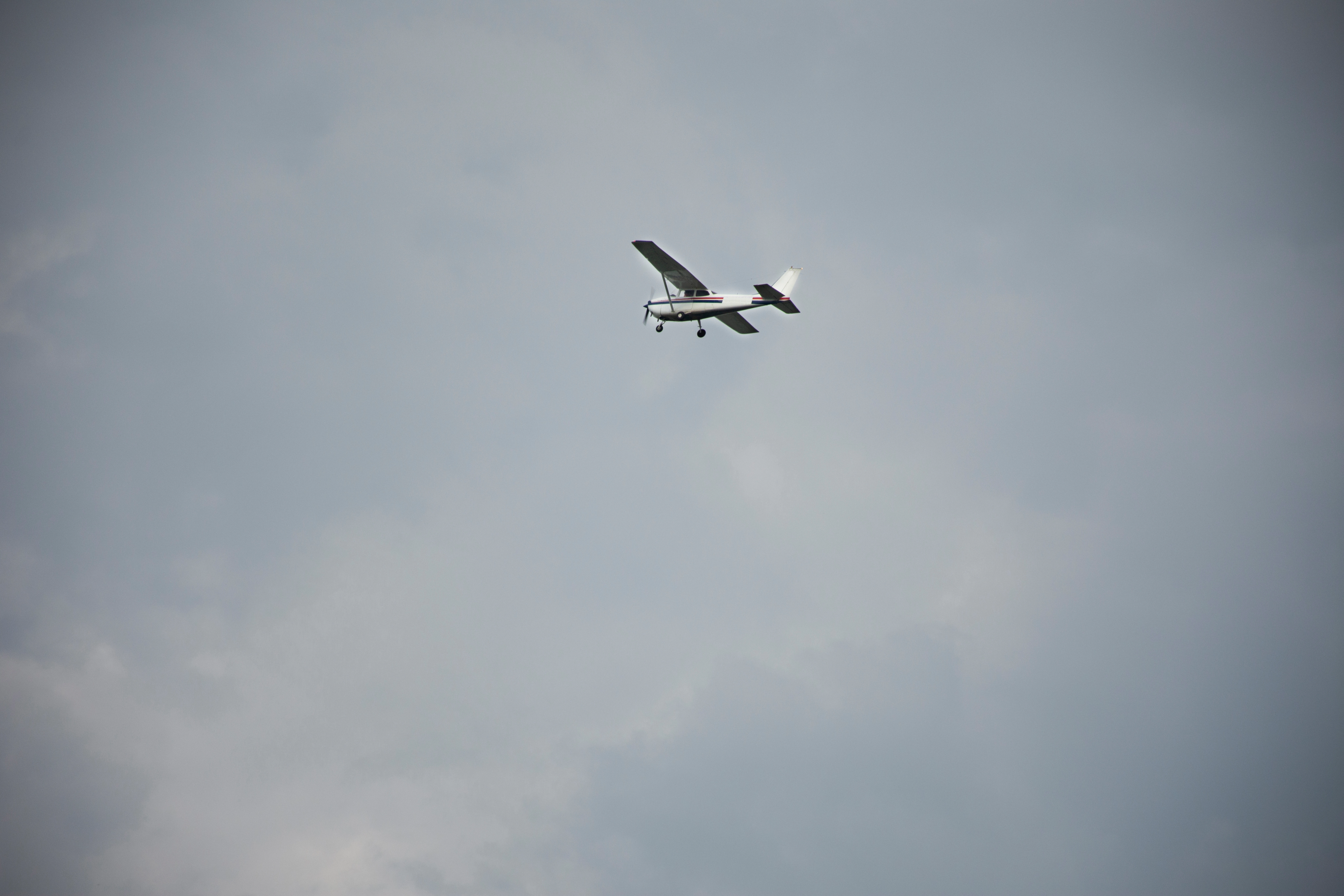
However, when the instructor and learner descended to 1000' above ground level (AGL) to perform ground reference maneuvers, the airspeed indicator and GPS ground speed display told a very different story. Doing turns around a point heading east, the ground speed in the C-172 showed 70 knots, and when they completed the turn in the opposite direction, the ground speed rose to 100 knots.
None of this was forecasted in the KAUS Terminal Area Forecast (TAF).
The challenge of controlling the aircraft was immediate. After a few circuits, the instructor and learner chose to head back to KAUS in case this sudden increase in winds would appear again unexpectedly as they approached Runway 18L.
Fortunately, the winds remained as reported, and the landing was uneventful. However, on the way back, as they were in contact with Austin Approach, a pilot used the term "outflow" in a pilot report (PIREP). He had been heading east from the Houston area and felt the effects higher. It got his attention.
No question, the same outflow had to have come from that system, traveling across the ground at a high rate of speed, with plenty of energy. So, what could the instructor and learner have done to anticipate the possibility of outflow?
Avoiding Outflows
.gif?width=1014&height=570&name=AdobeStock_114769100%20(1).gif)
Seeing the large system quite visibly displayed on ForeFlight:
- They could have checked for more distant PIREPs than usual (given the size of the thunderstorm system).
- At 3000' mean sea level (MSL), their upper air practice altitude, they could have tried to pick up ASOS and AWOS farther to the east than usual, either on the radio or ForeFlight, if they could get a signal.
Outflow is not a microburst, but you will certainly have your hands full if you encounter it. If you come across it at night, your workload instantly increases in a situation already demanding more focus than usual.
So, as a future safety measure, consider checking well outside your normal area, even if everything seems fine. All you need to see are stronger trends reported on ASOS and AWOS to get your attention and expect the unexpected.
Lastly, if you ever encounter outflow, let Air Traffic Control (ATC) or Flight Service know with an immediate PIREP. Everyone will benefit from you doing so, and who knows? You might spare someone a very intense surprise, preventing them from being caught off guard at a potentially inopportune time.
Share this
You May Also Like
These Related Articles

VFR Not Recommended

The IMSAFE Checklist and the Art of Preflighting the Pilot
.png)